Frankenbach (Rhine)
| Frankenbach | ||
|
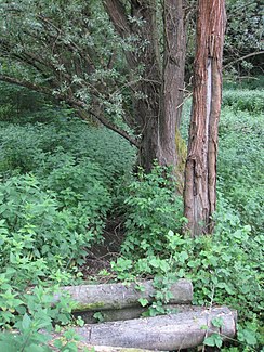
The Frankenbach near the confluence of the Mönchsheide brook |
||
| Data | ||
| Water code | DE : 271754 | |
| location | Rhineland-Palatinate , Germany | |
| River system | Rhine | |
| Drain over | Rhine → North Sea | |
| source | Southwest of Franconia 50 ° 29 ′ 47 ″ N , 7 ° 12 ′ 48 ″ E |
|
| Source height | approx. 255 m above sea level NHN | |
| muzzle | In Niederbreisig in the Rhine Coordinates: 50 ° 30 ′ 39 ″ N , 7 ° 18 ′ 4 ″ E 50 ° 30 ′ 39 ″ N , 7 ° 18 ′ 4 ″ E |
|
| Mouth height | approx. 51 m above sea level NHN | |
| Height difference | approx. 204 m | |
| Bottom slope | approx. 29 ‰ | |
| length | 7 km | |
| Catchment area | 11,192 km² | |
The Frankenbach is a nearly 7 km long orographically left tributary of the Rhine in Rhineland-Palatinate , Germany .
geography
course
The Frankenbach rises about one kilometer southwest of the Sinziger district of Franconia at an altitude of 255 m above sea level. NHN . The source is located on the eastern slope of an unnamed knoll ( ⊙ , 273 m above sea level ) in the Sinziger city forest. The Frankenbach flows mainly in an easterly direction. It first crosses under the A 61 , then the L 82 , flows through Franconia and the Bad Breisig district of Oberbreisig. Through Niederbreisig it flows piped, following Bachstrasse and Biergasse, and flows out at 51 m above sea level. NHN into the Rhine coming there from the south.
The difference in altitude of about 204 meters results in an average bed gradient of 29.3 ‰.
Catchment area and tributaries
The Frankenbach drains a 11.192 km² catchment area over the Rhine to the North Sea .
|
Stat. in km |
Surname | GKZ | location | Length in km |
EZG in km² |
Mouth height in m above sea level NHN |
|---|---|---|---|---|---|---|
| 4.186 | Bach vom Kratzheck | 2717542 | right | 0.489 | 1.047 | 146 |
| 3.508 | Bach from Mönchsheide | 2717544 | Left | 0.254 | 0.323 | 130 |
| 0.493 | Kesselbergbach | 2717546 | Left | 0.732 | 0.448 | 65 |
Individual evidence
- ↑ a b c Map service of the landscape information system of the Rhineland-Palatinate Nature Conservation Administration (LANIS map) ( notes ) (DTK 1: 5,000 color)
- ↑ a b GeoExplorer of the Rhineland-Palatinate Water Management Authority ( information ), accessed on June 28, 2017
