Freiersberg
| Freiersberg | |||
|---|---|---|---|
|
Freiersberg pass, view in south direction |
|||
| Compass direction | northwest | Southeast | |
| Pass height | 740 m above sea level NN | ||
| state | Baden-Württemberg | ||
| Watershed | Rench → Upper Rhine | Wolf → Kinzig → Upper Rhine | |
| Valley locations | Bad Peterstal-Griesbach | Schapbach | |
| expansion | Link road L 93 | ||
| Mountains | Black Forest | ||
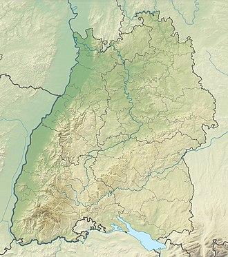
| Map (Baden-Württemberg) | |||
|
|
|||
| Coordinates | 48 ° 24 '48 " N , 8 ° 14' 44" E | ||
A pass height ( 740 m above sea level ) in the Black Forest between Bad Peterstal-Griesbach in the Renchtal and Schapbach in the Wolftal is called Freiersberg (more rarely also: Freiersbergsattel) .
Location and surroundings
At the top of the pass there is the Freiersberger Hut (only open in winter or for events) and a parking lot for hikers. Due to the heavy forest all around, there are no vantage points at the top of the pass.
The fifth stage of the Westweg crosses the road at the top of the pass.
About 5 km west of the top of the pass is the Hermersberg , about 2 km northeast of the Glaswaldsee .
Height indication
At the top of the pass there are two different elevations; at the hut: “Freiersberger Hut 747 m above sea level. M. ", on a more modern hiking board:" Location: Freiersberg (740 M above sea level) ".

