Gairenbuckel
| Gairenbuckel | |||
|---|---|---|---|
|
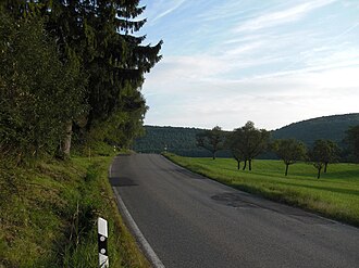
Pass summit, view in south direction |
|||
| Compass direction | North | south | |
| Pass height | 595 m above sea level NHN | ||
| district | Goeppingen | ||
| Watershed | Böglesbach → Weilerbach → middle Fils | Fischbach → upper Fils | |
| Valley locations | Schlat | Reichenbach in the valley | |
| expansion | L 1218 | ||
| profile | |||
| Ø pitch | 8.1% (170 m / 2.1 km) | 3% (104 m / 3.5 km) | |
| Max. Incline | 18% | ||
| map | |||
|
|
|||
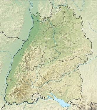
| Coordinates | 48 ° 38 '4 " N , 9 ° 42' 15" E | ||
The Gairenbuckel is about 595 m above sea level. NHN high pass in the Baden-Württemberg district of Göppingen on the eaves of the Swabian Alb in Germany .
The state road 1218 leads over it from Schlat in the north to Reichenbach im Täle in the southeast and ultimately connects the middle with the upper Filstal . The village of Schlat am Nordfuß is located in the erosion bay of the hamlet , whose inlet, initially at the pass, is the Böglesbach . Reichenbach is a little further on at the mouth of the Fischbach , which runs from the pass through a long valley southeast to the upper Fils. To the west of the pass, the terrain rises in the line of the Albtrauf to the Fuchseck ( 761 m ), east of it to the Wasserberg ( 751 m ). The Gairenhof and a hiking car park are located close to the pass.
Web links
- The Gairenbuckel on: State Institute for the Environment Baden-Württemberg (LUBW) ( information )
- Gairenbuckel (595 m) in: quaeldich.de

