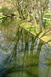
Gander (Moselle)
|
Gander Altbach |
||
|
The Gander in Munneref |
||
| Data | ||
| Water code | FR : A8850300 | |
| location |
France
|
|
| River system | Rhine | |
| Drain over | Moselle → Rhine → North Sea | |
| origin | The confluence of Aalbaach and Briedemsbach in Aspelt 49 ° 31 ′ 13 ″ N , 6 ° 13 ′ 28 ″ E |
|
| Source height | 235 m | |
| muzzle | at Haute-Kontz in the Moselle Coordinates: 49 ° 26 '55 " N , 6 ° 19' 36" E 49 ° 26 '55 " N , 6 ° 19' 36" E |
|
| Mouth height | 147 m | |
| Height difference | 88 m | |
| Bottom slope | 5.3 ‰ | |
| length | 16.6 km | |
| Catchment area | 75.2 km² | |
| Drain at the mouth |
MQ |
835 l / s |
The Gander is a good sixteen and a half kilometers long, northern and left tributary of the Moselle on the border of France ( Grand Est region ) and Luxembourg .
Surname
The stream is also called Altbach , with the Luxembourgish-Lorraine variants Aalbach and Altbaach .
geography
course
The Gander arises at an altitude of 235 m from the confluence of Aalbaach and Briedemsbach in Aspelt .
It initially flows a good kilometer to the south-east and then marks the border between Luxembourg and France for around ten kilometers. It meanders through fields and meadows and first flows south along Altwies . Then it runs between Mondorf-les-Bains in Luxembourg and Mondorff in France and then past Emerange to the south .
It now leaves the border, passes Gandren and, coming from the north, flows into the Moselle from the left at an altitude of 147 m south of Bad Mondorf near Haute-Kontz .
Tributaries
- Aalbaach ( right source stream ), 7.8 km
- Briedemsbach ( left source stream ), 4.9 km
- Grondbaach ( left ), 2.0 km
- Ruisseau le Tiefenbach ( right ), 1.8 miles
- Uelesbaach ( left ), 1.5 miles
- Hennesbaach ( left ), 1.0 km
- Deibich ( Ruisseau Deibicherbaach ) ( left ), 2.1 km
See also
Individual evidence
Web links
- Gander at SANDRE (French)
- Débits caractéristiques de l'Altbach (French; PDF; 11 kB)
- Course of the Gander on Eau-Geoportal Luxembourg
