Drawn tree
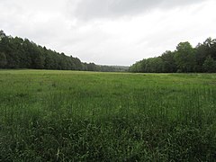
The drawn tree is a border point in the Osburger Hochwald between the districts of the communities Osburg and Reinsfeld in the district of Trier-Saarburg in Rhineland-Palatinate . It lies on the edge of a large clearing and 581 m above sea level. The surrounding district is called Am Gezeichen Baum .
The common border of the communities comes from the northeast and bends here to the south. Several forest roads meet here. A tarred farm road comes from Landesstraße 151 and leads in the direction of Landesstraße 146 . Other paths lead past the former forester's lodge Hohe Wurzel / headwaters Osterbach / Wadrill / old federal road 52 towards Hinzert , to Camping Park Reinsfeld , towards Edriesbach and Alpenvereinshütte or to Altweiherbach .
The main hiking trail Osburger Hochwald (OH) from Zerf to Büdlicherbrück leads past the tree and other hiking and cycling trails.
The current tree is a summer linden , estimated age 55 years. There used to be an imposing tree there and it was replaced with this tree after it died.
Individual evidence
- ↑ Entry on Am Drawn Tree in the database of cultural assets in the Trier region .
- ↑ Information about the Sternfeld forest district, May 2020
Coordinates: 49 ° 41 ′ 14.8 " N , 6 ° 51 ′ 2" E

