
Osburger Hochwald
| Osburger Hochwald | ||
|---|---|---|
 Highest elevations of the Osburger Hochwald: on the left the Rösterkopf , on the right the Hohe Wurzel |
||
| Highest peak | Rösterkopf ( 708.1 m above sea level ) | |
| location | District of Trier-Saarburg , Rhineland-Palatinate ( Germany ) | |
| part of | Hunsrück | |
|
||
| Coordinates | 49 ° 41 ′ N , 6 ° 50 ′ E | |


The Osburger Hochwald is a 75 km² large and up to 708.1 m above sea level. NHN high ridge of the Hunsrück , the south-western part of the Rhenish Slate Mountains . It is located in the Rhineland-Palatinate district of Trier-Saarburg and, together with the Black Forest high forest, forms the high forest of the Hunsrück.
The locally spoken dialect Hohwäller belongs to the Moselle-Franconian dialect group .
geography
location
The Osburger Hochwald is located southwest of the Idarwald and northwest of the Black Forest high forest . Parts of the Saar-Hunsrück Nature Park are located on the entire ridge, which is 20 km long in the northeast-southwest direction and 7 km wide in the southeast-northwest direction .
Osburg is on the northern edge of the ridge , Beuren on the northeastern edge, Reinsfeld and Schillingen on the southeastern edge, Zerf on the southwestern edge and Holzerath on the western edge . A border point between the districts of Osburg and Reinsfeld is the drawn tree .
The highest elevations in the Osburger Hochwald are the Rösterkopf ( 708.1 m ) near Osburg and the Hohe Wurzel ( 669 m ) near Beuren. To the northeast, the ridge sinks to about 490 m and to the southwest ( Ruwertal ) to about 390 m .
At the foot of the Rösterkopf, the Ruwerspring is the source of the Ruwer , a right tributary of the Moselle . The watershed between the Moselle ( Feller Bach , Ruwer) and Saar ( Wadrill / Prims ) runs through the Osburger Hochwald .
Natural allocation
The ridge forms the sub-unit Osburger Hochwald (242.3) in the natural spatial main unit group Hunsrück (No. 24) and in the main unit Hoch- and Idarwald (242). In the south, the Black Forest high forest (242.0) is followed by the Greimerather high forest (242.00). The landscape descends to the southeast into the subunit Keller Mulde (243.3) and to the northeast into the natural area Hermeskeiler Mulde (243.20) belonging to the subunit Middle Hunsrück Plateau (243.2), both of which belong to the main unit Hunsrück Plateau (243). To the west it descends into the natural area Ruwerengtal (246.31) and to the northwest to the north into the natural area Osburger Hunsrück (246.32), both of which belong to the main unit Saar-Ruwer-Hunsrück (246) to the subunit Ruwer-Hunsrück (246.3).
Landscaped area
The ridge of the Osburger Hochwald is almost completely wooded. It is cut through by several, partly deeply incised valley valleys. The majority of the landscape is covered by mixed and coniferous forests . Also beech forests falter on the sandy quartzite -floors. In the south and west there are coppice forests . The shallow soils there on the slopes of the Ruwertal are characterized by the occurrence of dry forest.
Numerous spring streams emerge in the hollows on the slope at the border of quartzite and clay slate . Individual quarry or bog forests have been preserved here. The open land areas are mostly in the vicinity of the few settlement areas and are mainly used for agriculture . These areas also include rough meadows , grass grass and wet meadows .
history
Evidence from the Neolithic (2nd to 3rd millennium BC ) are the menhir from Farschweiler , the menhir from Bescheid , the stone from Beuren , the megalithic grave near Bonerath / Holzerath and others. A number of barrows date from the Latène period (1st millennium BC) . In Roman times (1st to 4th century AD) numerous individual farmsteads were built, along with bathing facilities and burial grounds. A Roman road led from Trier in the direction of Hermeskeil . The Celtic language of the Treveri was spoken until the 4th century (see Hieronymus ).
Traffic and walking
Several municipal, district and state roads run through the Osburger Hochwald and federal motorway 1 through its northeastern part .
Several signposted hiking trails lead through the Osburger Hochwald. The main hiking trail runs between Zerf and Büdlicherbrück (approx. 30 km) and is marked with OH . The large circular route (marked GR ) runs around the forest area, which is 76 km in length and overcomes 1722 meters in altitude. Along the way are the Keller reservoir , the leisure facility at the Flonterbach near Schillingen , the Ruwer , the leisure facility at the Holzerather Weiher, the Drei Murderer cultural monument , the Riveristalsperre , the Kleine Dhron valley with the Bescheider Mühle game reserve and the leisure facility at the fishing hut near Beuren . The towns of Kell am See , Reinsfeld , Hinzert-Pölert , Beuren , Bescheid , Lorscheid , Farschweiler , Osburg , Riveris , Bonerath , Holzerath, Schöndorf , Hinzenburg , Lampaden , Paschel , Vierherrenborn , Zerf, Mandern , Heddert and Schillingen are on the way.
The Rösterkopf -Rundwanderweg (identification RR ) has a length of 10.5 km, and overcomes 193 meters. On the way are the Ruwerspring , the Knüppeldamm over the source moor Weyrichsbruch am Ellersbach , the source area of the Grindelbach and the Edrieshütte of the Trier Alpine Club at the Edriesbach source. There are parking spaces for hikers on the outskirts of Reinsfeld, Kell am See and Holzerath.
The six themed hiking trails Ruwer and tributaries are signposted as circular hiking trails and are designated RuT1 to RuT6 .
There are rescue points and approach points for rescue vehicles at various prominent points in the forest .
literature
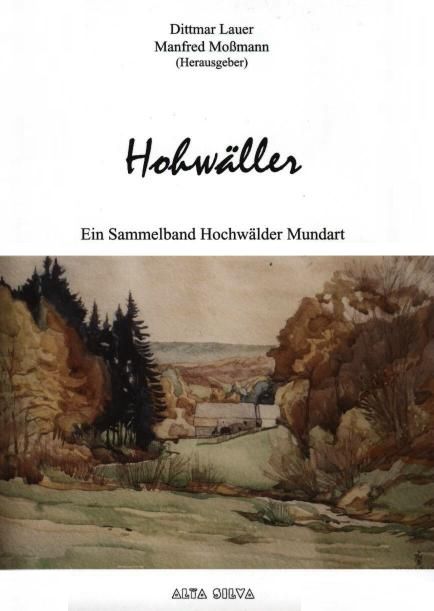
- Dittmar Lauer , Manfred Moßmann (eds.): Hohwäller - An anthology of Hochwälder Mundarten , Kell am See: Verlag Alta Silva, 2006, ISBN 978-3-9810762-0-2 .
Individual evidence
- ↑ Map service of the landscape information system of the Rhineland-Palatinate nature conservation administration (LANIS map) ( notes )
- ↑ a b Otmar Werle: Geographical land survey: The natural space units on sheet 148/149 Trier / Mettendorf. Federal Institute for Regional Studies, Bad Godesberg 1974. → Online map (PDF; 4.5 MB)
- ↑ Osburger Hochwald , on naturschutz.rlp.de
- ↑ Hochwald-Ferienland hiking route 1 ( memento from February 12, 2013 in the web archive archive.today ), on wanderkompass.de
- ↑ Hochwald-Ferienland hiking route 2 ( memento from February 12, 2013 in the web archive archive.today ), on wanderkompass.de
- ↑ Routes from Hochwald Ruwertal (GPS tracks of the themed hiking trails RuT 1 to 6), on gpsies.com
Web links
- Landscape areas in Rhineland-Palatinate - Osburger Hochwald , on naturschutz.rlp.de