Gibidumpass
| Gibidumpass | |||
|---|---|---|---|
|
View from the Gibidumpass into the Nanztal |
|||
| Compass direction | west | east | |
| Pass height | 2201 m above sea level M. | ||
| region | Valais , Switzerland | ||
| Watershed | Vispa | Gamsa | |
| expansion | trail | ||
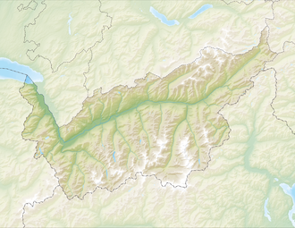
| Map (Valais) | |||
|
|
|||
| Coordinates | 638.55 thousand / 122750 | ||
The Gibidumpass (Gebidempass, Gebidumpass) at 2201 m above sea level. M. is the transition from Vispertal to Nanztal . National hiking route 6 from Wanderland Schweiz , the so-called Alpine Passes Trail , leads over it from Chur to Saint-Gingolph on the stage from the Simplon Pass over the Bistine Pass through the Nanztal and on over the Gibidumpass to Gspon . The hiking time for this section is approx. 8 ½ hours. The small Gibidumsee is located very close to the pass crossing . The pass has its name at 2317 m above sea level. M. high Gibidum , over whose back it leads.
The pass is a popular starting area for model flying due to its favorable geomorphological and climatic conditions .

