Panay Gulf
| Panay Gulf | ||
|---|---|---|
| Waters | Sulu Lake | |
| Land mass | Panay , Negros | |
| Geographical location | 10 ° 15 ′ 0 ″ N , 122 ° 15 ′ 0 ″ E | |
|
|
||
|
Map with the Gulf of Panay to the east |
||
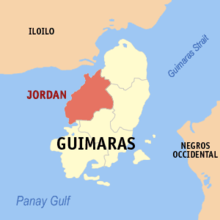
The Gulf of Panay ( English Panay Gulf ) is a fringe area of the Sulu Sea , which lies between the islands of Panay and Negros in the Philippines .
The golf includes parts of the Santa Anna Bay between Panay, Guimaras and the Guimaras Strait between Guimaras and Negros. In the southeast of the gulf lies the river delta of the Ilog River , which is approx. 50 km² in size. The Gulf of Panay is connected to the Visayas Sea via the Guimaras Strait . In the waters of the island of Guimaras lies the Taklong Island National Marine Reserve , it was established in 1990 on the coast of the municipality of Nueva Valencia .
The port of Iloilo (English Port of Iloilo ) is the most important port in the marine area, which is mainly used by ships that connect the area around Iloilo City , Bacolod and Zamboanga with the southern areas of the Philippines.


