Goodlands (Mauritius)
Coordinates: 20 ° 2 ′ S , 57 ° 39 ′ E
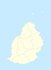
Goodlands is a place ("Village") in the north of Mauritius . It is part of the Rivière du Rempart district and administratively belongs to the Village Council Area (VCA) Goodlands. At the 2011 census, the place had 20,712 inhabitants. The district of Saint Antoine also belongs to the village.
In the 1830s, James Edward Arbuthenot founded a sugar factory in Goodlands. Over time, more factories were built. These were closed step by step as part of the centralization of sugar production in the second half of the 20th century. In 1994 the last sugar factory (Saint Antoine) closed. In 1982 the place had 12,592 inhabitants, in the following years the population rose sharply and Goodlands became the most populous place in the north of the island after Triolet .
In Goodlands there is the Marie Reine Catholic parish church (consecrated in 1846). The church of Sainte-Claire in Goodlands and Marie-Reine in Poudre d'Or also belong to the parish . There is also the Eglise Chrétienne de Goodlands, the mosque Masjid-E-Noor and the Hindu temples Siva Soopramaniar Kovil and Kali Maiya in Goodlands.
There is a state school on site, the Doorgachurn Hurry Government School.
The Belmont Shopping Center is located on the bypass. In 1982 the model ship factory Historique Marine opened .
The Federal Republic of Germany does not have its own embassy in Mauritius. The ambassador in Madagascar will take over the task . A German honorary consul is based in Goodlands as its branch office.
literature
- Benjamin Moutou: Pamplemousses - Riviére du Rempart - Quatre siécles d'histoire, 2006, ISBN 978-99903-992-9-5 , pp. 358-361
Individual evidence
- ↑ Statistics Mauritius: Housing and population census 2011 , Volume II: Demographic and fertility characteristics , p. 71, statsmauritius.govmu.org (PDF)
- ^ Website of the parish
- ↑ Foreign Office
