Plaines des Roches
Coordinates: 20 ° 7 ′ S , 57 ° 42 ′ E
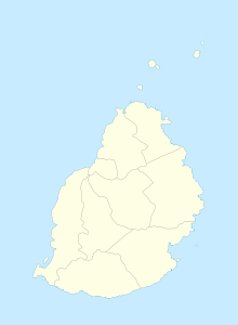
Plaines des Roches is a place ("Village") on Mauritius .
The northern part of Plaines des Roches belongs to the Rivière du Rempart district , the southern part is in the Flacq district . At the 2011 census, the place had 4,020 inhabitants (of which 265 in the Flacq district and 3,755 in the Rivière du Rempart district). Both parts administratively belong to the Village Council Area Plaines des Roches.
The place takes its name from the basalt rocks that characterize the area (Roche is the French word for rock). The rocks originate from volcanic activity around 25,000 years ago.
After the Second World War, the government planned to create an airfield in Plaines des Roches. However, these plans were not followed up. The place lives from agriculture, mainly the cultivation of tobacco and sugar cane. In 2004, 10,401 tons of sugar cane were harvested in the community.
The Pardooman Shibchurn Government School is located in Plaines des Roches.
literature
- Benjamin Moutou: Pamplemousses - Riviére du Rempart - Quatre siécles d'histoire, 2006, ISBN 978-99903-992-9-5 , SS 325
Individual evidence
- ↑ Statistics Mauritius: Housing and population census 2011 , Volume II: Demographic and fertility characteristics , pp. 71-72, statsmauritius.govmu.org (PDF): the values for both districts must be added.
