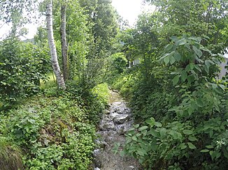
Halsbach (Dorfbach)
| Halsbach | ||
|
Halsbach at an altitude of approx. 700 m |
||
| Data | ||
| location | Upper Bavaria | |
| River system | Danube | |
| Drain over | Dorfbach → Isar → Inn → Danube → Black Sea | |
| source | West slopes of Geierstein 47 ° 40 ′ 49 ″ N , 11 ° 36 ′ 1 ″ E |
|
| Source height | 824 m | |
| muzzle |
Dorfbach coordinates: 47 ° 40 ′ 40 " N , 11 ° 34 ′ 49" E 47 ° 40 ′ 40 " N , 11 ° 34 ′ 49" E |
|
| Mouth height | 684 m | |
| Height difference | 140 m | |
| Bottom slope | approx. 88 ‰ | |
| length | about 1.6 km | |
The Halsbach is a flowing body of water in Bavaria . It arises from the lime ditch and Geierstein ditch on the north-western slopes of the Geierstein , flows westward and together with the Reiterbach in Lenggries forms the Dorfbach .
Individual evidence
- ↑ Roughly measured on the Bavaria Atlas.
Web links
- The course of the Halsbach on the BayernAtlas
