Hemmental Valley
| Hemmental Valley | ||
|---|---|---|
|
The village of Hemmental in the Hemmentalertal |
||
| location | Canton of Schaffhausen , Switzerland | |
| Waters | Hemmentalerbach | |
| Mountains | Beets | |
| Geographical location | 685 870 / 287598 | |
|
|
||
| height | 590 to 480 m above sea level M. | |
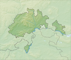
The Hemmentalertal is a valley in the canton of Schaffhausen in Switzerland . It crosses the heights of the Rand in a south-easterly direction and extends from the village of Hemmental to the width of the city of Schaffhausen . This foremost part of the valley is also called Hauental . Since the incorporation of Hemmental in 2009, the valley has been entirely in the area of the city of Schaffhausen.
The agriculturally used valley is traversed by the Hemmentalerbach . At the height of the Hauental, the brook flows through a small, rocky valley called rocky gorge and flows into the Durach , which flows from the Merishausertal through the Mühlental towards the Upper Rhine .

