Hohtannhöhe
| Hohtannhöhe | |||
|---|---|---|---|
| Compass direction | west | east | |
| Pass height | 1179.4 m above sea level NHN | ||
| state | Baden-Württemberg | ||
| Valley locations | Aitern | Wiedener Eck | |
| expansion | K 6341 | ||
| Mountains | Black Forest | ||
| particularities | Highest pass in the Lörrach district | ||
| profile | |||
| Max. Incline | 8th % | 6% | |
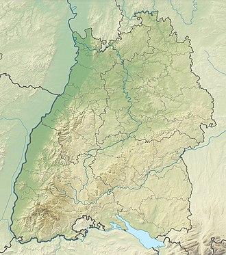
| Map (Baden-Württemberg) | |||
|
|
|||
| Coordinates | 47 ° 49 '46 " N , 7 ° 51' 33" E | ||
The Hohtannhöhe with 1179.4 m above sea level. NHN in the southern Black Forest in Baden-Württemberg connects the village of Aitern with the Wiedener Eck pass crossing . The Hohtannhöhe is a natural pass between the mountains Hohtannen ( 1249 m ) in the north and the Rollspitz ( 1236 m ) in the south-east or connects the Aiternbachtal and Wiedener Tal and is the highest pass in the Lörrach district .
profile
From Aitern, the state road 142 leads to Belchen . About 100 meters after the Multen waterfall, the street name changes to Kreisstraße 6341 and branches off at an altitude of 1060 m on the one hand to the valley station of the Belchen cable car and on the other to the Hohtannhöhe. From the junction, the pass road overcomes a height difference of 120 meters over 2.5 kilometers, which corresponds to an average gradient of 4.8%. The maximum gradient is 8%.
At the culmination point of the Hohtannhöhe there is a stop for a regional bus line . South of the top of the pass there is a parking lot for hikers, a campsite and the gas-heated Hohtannhütte. The Hohtann-Belchen cross-country skiing center is also located here.
The northeast ramp leads from the Hohtannhöhe in 2.9 kilometers down to the Wiedener Eck. On this ramp, 145 meters in altitude are overcome, which corresponds to an average gradient of 5%. The maximum gradient is 6%. Between the top of the pass and the Wiedener Eck there is another bus stop at Lückle at 1158 m above sea level. NHN and at the ski lift / wood yard.
Individual evidence
- ↑ Topographic map at geoportal-raumordnung-bw.de , accessed on November 18, 2019
- ↑ Map of the Hohtann-Belchen cross-country ski runs , accessed on July 1, 2019
