Horodyschtsche (Dubrowyzja)
| Horodyschtsche (Dubrowyzja) | ||
| Городище | ||

|
|
|
| Basic data | ||
|---|---|---|
| Oblast : | Rivne Oblast | |
| Rajon : | Dubrovitsia district | |
| Height : | 136 m | |
| Area : | 0.64 km² | |
| Residents : | 632 (2004) | |
| Population density : | 988 inhabitants per km² | |
| Postcodes : | 34110 | |
| Area code : | +380 3658 | |
| Geographic location : | 51 ° 48 ' N , 26 ° 42' E | |
| KOATUU : | 5621888703 | |
| Administrative structure : | 1 village | |
| Address: | вул. Молодіжна 16а 34110 с. Тумень |
|
| Statistical information | ||
|
|
||
Horodyschtsche ( Ukrainian Городище ; Russian Городище Gorodishche , Polish Horodyszcze ) is a village in the north of the Ukrainian Rivne Oblast with about 630 inhabitants (2004).
The village, first mentioned in writing in 1720, belongs administratively to the district council of the village of Tumen in the north of Dubrovytsia district .
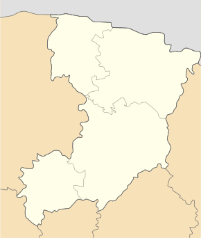
Horodyschtsche is located at the mouth of the Syren in the Horyn and on the regional road P-05, which merges here at the border crossing of the Ukrainian-Belarusian border into the Belarusian P-88.
Horodyschtsche is located 28 km north of the Dubrovytsia district center and about 150 km north of the Oblast capital Rivne .
Web links
Commons : Horodyschtsche - collection of images, videos and audio files
- Horodyszcze . In: Filip Sulimierski, Władysław Walewski (eds.): Słownik geograficzny Królestwa Polskiego i innych krajów słowiańskich . tape 3 : Haag – Kępy . Sulimierskiego and Walewskiego, Warsaw 1882, p. 142 (Polish, edu.pl ).
Individual evidence
- ↑ page of the village on the website of the Verkhovna Rada ; accessed on January 15, 2015 (Ukrainian)


