Isluga (volcano)
| Isluga volcano | ||
|---|---|---|
|
Isluga volcano |
||
| height | 5577 m | |
| location | Northern Chile | |
| Mountains | To the | |
| Coordinates | 19 ° 9 ′ 19 ″ S , 68 ° 49 ′ 11 ″ W | |
|
|
||
| Type | Stratovolcano | |
| Last eruption | 1913 | |
| First ascent | Carl Troll , 1927 | |
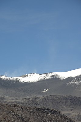
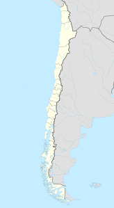
The Isluga volcano is a 5577 m high stratovolcano in northern Chile , seven kilometers from the border with western Bolivia . It is located 175 km southeast of Arica in the 1747 square kilometer Volcán Isluga National Park in the Cordillera Occidental mountains in the central Andes . The Isluga forms the western end of a chain of volcanoes that extends over the triple summit of Cabaraya (5869 m) and Tata Sabaya (5385 m) to Cerro Pariani (5077 m) in Bolivia.
Isluga is one of the active volcanoes, in the past 150 years it has had various major eruptions in 1868, 1869, 1877 and 1878, and some smaller eruptions in 1863, 1885 and 1913. During the lava eruption in 1878 various villages at the foot of the mountain destroyed. An activity of the Isluga from 1960 has not been confirmed.
See also
Individual evidence
- ↑ Cerro Sillajhuay Andeshandbook ( accessed January 27, 2012 ) ( Spanish )
Web links
- Isluga in the Global Volcanism Program of the Smithsonian Institution (English)
- Isluga Volcano in: Volcano Discovery ( English )
- Relief map of the Salinas de Garci-Mendoza region (PDF; 10.44 MB)

