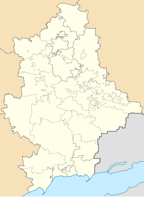
Ivanopillja
| Ivanopillja | ||
| Іванопілля | ||

|
|
|
| Basic data | ||
|---|---|---|
| Oblast : | Donetsk Oblast | |
| Rajon : | Kostyantynivka district | |
| Height : | 85 m | |
| Area : | Information is missing | |
| Residents : | 1,466 (2001) | |
| Postcodes : | 85160 | |
| Area code : | +380 6272 | |
| Geographic location : | 48 ° 29 ' N , 37 ° 46' E | |
| KOATUU : | 1422482501 | |
| Administrative structure : | 5 villages | |
| Address: | вул. Метонідзе, буд. 1 85160 с. Іванопілля |
|
| Website : | City council website | |
| Statistical information | ||
|
|
||
Ivanopillja ( Ukrainian Іванопілля ; Russian Иванополье Ivanopolje ) is a village in the Ukrainian Donetsk Oblast with about 1400 inhabitants (2001).
The village, founded at the beginning of the 19th century, is the administrative center of the eponymous, 154.66 km² district council in Kostjantyniwka district , to which the villages of Bila Hora ( Біла Гора , ⊙ ) with about 70 inhabitants, Dylijiwka ( Диліївка , ⊙ ) with about 400 inhabitants, Nelipiwka ( Неліпівка , ⊙ ) with about 40 inhabitants and Olexandro-Schultyne ( Олександро-Шультине , ⊙ ) with about 190 inhabitants.
The village is situated at an altitude of 85 meters on the right bank of the Kryvyi Torez , a 88 km long right tributary of the Kasennyj Torez , 10 km southeast from Rajonzentrum Kostiantynivka and 62 km north of the Oblastzentrum Donetsk .
The T – 05–16 territorial road runs through the village .
Individual evidence
- ↑ Local website on the official website of the Verkhovna Rada ; accessed on July 10, 2019 (Ukrainian)
- ↑ history Iwanopillja in the history of the towns and villages of the Ukrainian SSR ; accessed on July 10, 2019 (Ukrainian)
- ^ Website of the district council on the official website of the Verkhovna Rada; accessed on July 10, 2019 (Ukrainian)


