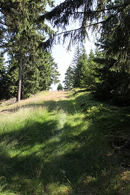
Hunting umbrella (Thuringian Slate Mountains)
| Hunting umbrella | ||
|---|---|---|
| height | 813 m above sea level NHN | |
| location | Thuringia , Germany | |
| Mountains | Thuringian Slate Mountains | |
| Coordinates | 50 ° 31 '39 " N , 11 ° 3' 20" E | |
|
|
||
The hunting umbrella is the most northeastern and at 813 m above sea level. NHN the fourth highest elevation of the Wurzelberg massif in the Thuringian Slate Mountains in the northernmost tip of the district of Sonneberg . Like the whole massif, it plans northwards and is therefore included in the Northern High Slate Mountains . The Reichenbach rises on its western flank, and the Frauenbach on its eastern flank, both tributaries of the cat that flows through the Katzhütte . Despite the dominance of its neighbor Großer Farmdenkopf ( 868.7 m ), it is visible from Katzhütte as a noticeable elevation.
See also
List of mountains and elevations in Thuringia

