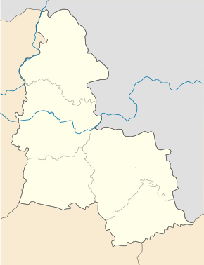
Junakivka
| Junakivka | ||
| Юнаківка | ||

|
|
|
| Basic data | ||
|---|---|---|
| Oblast : | Sumy Oblast | |
| Rajon : | Sumy Raion | |
| Height : | 166 m | |
| Area : | Information is missing | |
| Residents : | 1,741 (2004) | |
| Postcodes : | 42317 | |
| Area code : | +380 542 | |
| Geographic location : | 51 ° 8 ' N , 35 ° 2' E | |
| KOATUU : | 5924789501 | |
| Administrative structure : | 2 villages | |
| Address: | вул. Новоселівка 3 42317 с. Юнаківка |
|
| Statistical information | ||
|
|
||
Junakivka ( Ukrainian Юнаківка ; Russian Юнаковка Junakowka ) is a village in the Ukrainian Sumy Oblast with about 1700 inhabitants (2004).
The village, first mentioned in writing in 1685, is located in Sumy Raion at the source of the Loknja ( Локня ) a tributary of the Klewen near the border with the Russian Oblast Kursk . Through the village runs the highway N 07 , the Kursk with Sumy connects. The Sumy Rajon and Oblast Center is 25 kilometers southwest of the village.
The village is the administrative center of the district council of the same name , which also includes the village of Sadky ( Садки ⊙ ) with about 10 inhabitants.
Individual evidence
- ↑ The village's website on the Verkhovna Rada website , accessed on February 19, 2017 (Ukrainian)

