Queen Sirikit Dam
| Queen Sirikit Dam | |||||||
|---|---|---|---|---|---|---|---|
|
|||||||
|
|
|||||||
| Coordinates | 17 ° 52 '10 " N , 100 ° 27' 12" E | ||||||
| Data on the structure | |||||||
| Construction time: | 1965-1974 | ||||||
| Height of the barrier structure : | 169 m | ||||||
| Building volume: | 11 million m³ | ||||||
| Crown length: | 810 m | ||||||
| Crown width: | 12 m | ||||||
| Power plant output: | 500 MW | ||||||
| Data on the reservoir | |||||||
| Water surface | 250 km² | ||||||
| Storage space | 9.80 or 10.55 billion m³ | ||||||
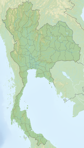
The Sirikit Dam ( Thai : เขื่อน สิริ กิ ติ์ , named in honor of Sirikit , wife of King Bhumibol Adulyadej . Of Thailand (Rama IX) was 1965 - 1974 about 45 km north of Uttaradit in the north of Thailand at Mae Nam Nan built in 1973. The dam , inaugurated in 1973, makes a significant contribution to the profitable agriculture of the neighboring region in the south of the province of Uttaradit, and is also important for the energy supply.
The Sirikit Dam is the largest dam in Thailand. The dam is 169 m high, 810 m long and 12 m wide in the upper part. The lake has an area of almost 250 km² and is bordered by some pile dwellings . The inhabitants live from fishing .
Further data:
- Dam volume: 11 million m³
- Storage volume: 9,800 million m³ (another source gives 10,550 million m³)
- Power plant output: 500 MW
To the east there is a small nature park near Nam Pat , which is home to the largest teak tree in the world.
- Impressions around the reservoir
See also
- List of the largest dams on earth
- List of the largest reservoirs on earth
- List of the largest hydroelectric plants in the world
- List of dams in the world


