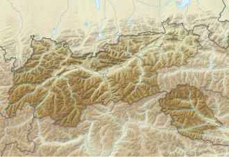
Kaiserjoch
| Kaiserjoch | |||
|---|---|---|---|
| Compass direction | north | south | |
| Pass height | 2310 m above sea level A. | ||
| state | Tyrol | ||
| Watershed | Lech → Danube | Rosanna → Inn | |
| Valley locations | Emperor | Pettneu am Arlberg | |
| expansion | Mule track | ||
| Map (Tyrol) | |||
|
|
|||
| Coordinates | 47 ° 10 '24 " N , 10 ° 19' 33" E | ||
The Kaiserjoch is 2310 m above sea level. A. high mountain pass in Austria and connects the Stanzertal with the upper Lech Valley , both of which are in Tyrol .
The valley around the village of Kaisers was settled in the 13th century across the Kaiserjoch from the Stanzertal. Until 1938 it belonged to the court and district of Landeck . An old mule track that connected the Lech Valley with the Stanzertal via the Kaiserjoch was busy until the middle of the 19th century. Only when the road over the Flexenpass was built did this path fall into disrepair. There is still a gravel road on the north ramp that leads up to the Kaiserjoch and offers a wonderful view from there. The southern ramp into the Stanzertal, down to Rosanna , is only a modest footpath. The Kaiserjochhaus stands on the Kaiserjoch .
Individual evidence
- ^ Steffan Bruns: Alpine passes . The passes on both sides of the Brenner route. tape 1 . L. Staackmann Verlag, Munich 2010, ISBN 978-3-88675-256-0 , p. 129 .
