Kalkach
| Kalkach | ||
|
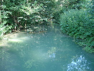
The Kalkach shortly after its source (upstream) |
||
| Data | ||
| location |
Franconian Switzerland
|
|
| River system | Rhine | |
| Drain over | Aubach → Schwabach → Regnitz → Main → Rhine → North Sea | |
| source | in the Kalkbrunnen 49 ° 39 ′ 8 ″ N , 11 ° 14 ′ 56 ″ E |
|
| Source height | 460 m above sea level NN | |
| confluence | with the Lillach to Aubach Coordinates: 49 ° 37 '36 " N , 11 ° 15' 0" E 49 ° 37 '36 " N , 11 ° 15' 0" E |
|
| Mouth height | 355 m above sea level NN | |
| Height difference | 105 m | |
| Bottom slope | 33 ‰ | |
| length | 3.2 km | |
The Kalkach is the right source brook of the Aubache in Franconian Switzerland . It rises in the lime well on the northern edge of Graefenberg .
geography
Lime well
The lime fountain is located north of the Graefenberger forest swimming pool on the edge of the quarry. It is a karst spring that once fed into the drinking water supply of Graefenberg. The spring water that rises below a water storage house has a bluish color.
course
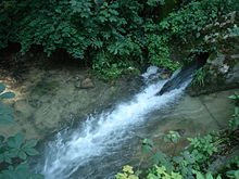
The Kalkach runs through Graefenberg in a southerly direction. In Weißenohe it unites with the Lillach to the Aubach.
Web links
Commons : Kalkach - collection of images, videos and audio files

