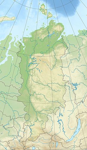
Kapchuk Lake (Kutaramakan)
|
Lake Kapchuk (Озеро Капчук) |
||
|---|---|---|
| ??? | ||
| GKZ | RU / 17010800311116100005648 | |
| Geographical location |
Putorana Mountains , Krasnoyarsk Region ( Russia ) |
|
| Drain | Kapchuk | |
| Data | ||
| Coordinates | 68 ° 33 '51 " N , 91 ° 12' 56" E | |
|
|
||
| Altitude above sea level | 176 m | |
| surface | 2.18 km² | |
| length | approx. 3.7 km | |
| width | Max. approx. 0.8 km | |
| Catchment area | 6.77 km² | |
The Kaptschuksee ( Russian Озеро Капчук ) is a 2.18 km² large, near the Kutaramakansee situated lake in putorana plateau , the north-western part of the Central Siberian Uplands in Krasnoyarsk , Siberia , Russia ( Asia ).
Geographical location
The Kapchuk Lake is located around 230 km north of the Arctic Circle in the western part of the Putorana Mountains (max. 1701 m ). There are no settlements either by the lake or in its vicinity.
The mountains framing the lake are up to 772 m high in the Keta Mountains in the north and up to 1027 m in the west and up to 637 m in the Kutaramakan Mountains in the east and up to 958 m in the south . While the lake is fed by a few mountain streams, the Kapchuk is its only drain. The latter drains through the neighboring Kutaramakansee , the Kutaramakan , the Chantaisee , the Chantaika , the Kleiner Chantaikaee and the Yenisei into the Kara Sea .
The lake, located around 176 m high, is around 3.7 km long and 0.8 km wide. Its catchment area is about 6.77 km².
Neighboring lakes outside of its catchment area are the small Kichtasee to the west-northwest and the elongated Kutaramakansee to the east .
Climate, flora and fauna
The Lake Kapchuk region lies in the area of permafrost . The lake is covered by ice from the beginning of October to the end of June or the beginning of July every year . Boreal coniferous forests (taiga) thrive on its banks and tundra with mosses and lichen predominates on the surrounding mountains . For example, perch fish , pike and salmon fish live in the fish-rich lake .
Individual evidence
- ↑ a b c Lake Kapchuk (Kutaramakan) in the State Water Directory of the Russian Federation (Russian)
- ↑ a b Topographical map (1: 200.000, Bl. R-46-XXXI, XXXII, edition 1988), Kapchuksee (top center right) in the Putorana Mountains and the like. a. Bach Kaptschuk (outflow) Kichtasee (top center), Kutaramakansee (top right) and large Chantaisee (center) on mapr46.narod.ru (with heights above sea )
