Kapchuk Lake (Lama)
|
Lake Kapchuk (Озеро Капчук) |
||
|---|---|---|

|
||
|
Kapchuksee (above) at Lama Lake (center) with Glubokojesee (left below) in the Putorana Mountains ( NASA photo) |
||
| GKZ | RU / 17020000111116100011253 | |
| Geographical location |
Putorana Mountains , Krasnoyarsk Territory ( Russia ) |
|
| Tributaries |
Deme , Nikita-Jurjach and other streams |
|
| Drain | Kapchuk | |
| Data | ||
| Coordinates | 69 ° 30 '35 " N , 90 ° 53' 38" E | |
|
|
||
| Altitude above sea level | 50 m | |
| surface | 21.2 km² | |
| length | approx. 12 km | |
| width | Max. approx. 2.8 km | |
| Catchment area | 386 km² | |
| The catchment area of Lake Kapchuk | ||
The Kapchuk Lake ( Russian Озеро Капчук ) is a 21.2 km² lake located next to the much larger Lama Lake in the Putorana Mountains , the northwest part of the Central Siberian Mountains in the Krasnoyarsk region , Siberia , Russia ( Asia ).
Geographical location
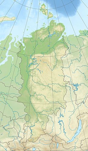
The Kapchuk Lake is located around 330 km north of the Arctic Circle in the northern part of the Putorana Mountains (max. 1701 m ). It extends on average around 105 km east-northeast of Norilsk . There are no settlements either by the lake or in its vicinity.
The lake framing mountains in the northwestern Miktschangdabergen to 1116 m high, in the northern Demsbergen to 1167 m , in the eastern Butscharamabergen to 1101 m and in the southwestern Kamennybergen to 1068 m . While the lake is fed by the Deme and Nikita-Jurjach and other streams, the Kapchuk is its only drain. The latter drains through the neighboring Lama Lake to the south , the Lama , the Melkojesee , the Talaja , the Norilka and the Pjassina into the Kara Sea .
The 50 m high lake is around 12 km long and 2.8 km wide. Its catchment area is about 386 km².
Climate, flora and fauna
The Lake Kapchuk region lies in the area of permafrost . The lake is covered by ice from October or November to June every year . Boreal coniferous forests (taiga) thrive on its banks and tundra with mosses and lichen predominates on the surrounding mountains . For example, perch fish , pike and salmon fish live in the fish-rich lake .
Individual evidence
- ↑ a b c Lake Kapchuk in the State Water Directory of the Russian Federation (Russian)
- ↑ a b topographic map (1: 200.000, p. R-46-XIX, XX, ed. 1984), Kaptschuksee (below), u. a. with Kapchuk (drain) and Lama lake (bottom left) on mapr46.narod.ru (with heights above sea level )
