Karpiwzi (Tschudniw)
| Karpivtsi | ||
| Карпівці | ||

|
|
|
| Basic data | ||
|---|---|---|
| Oblast : | Zhytomyr Oblast | |
| Rajon : | Chudniv district | |
| Height : | 242 m | |
| Area : | 7.941 km² | |
| Residents : | 1,574 (January 1, 2017) | |
| Population density : | 198 inhabitants per km² | |
| Postcodes : | 13235 | |
| Area code : | +380 4139 | |
| Geographic location : | 49 ° 57 ' N , 28 ° 6' E | |
| KOATUU : | 1825883201 | |
| Administrative structure : | 1 village | |
| Address: | вул. Леніна буд. 20 13235 с. Карпівці |
|
| Website : | City council website | |
| Statistical information | ||
|
|
||
Karpivtsi ( Ukrainian Карпівці ; Russian Карповцы Karpowzy ) is a village in the south of the Ukrainian Oblast Zhytomyr with 1574 inhabitants (2017).
The village, first mentioned in writing in 1714, has been administratively part of the rural community Wilschanka ( Вільшанка ) since the end of 2018 . At the 2001 census, the village had 2,037 inhabitants.
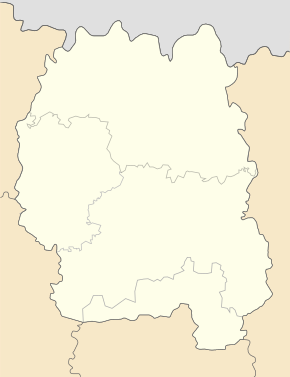
The village is located south of Rajon Chudniv at an altitude of 242 meters on both sides of Teteriv River , 9 km south of the community center Wilschanka, 14 km south of Rajonzentrum Chudniv and 63 km southwest of the Oblastzentrum Zhytomyr .
Web links
Individual evidence
- ↑ Information about the local authority on the official website of the rural municipality Wilschanka; accessed on July 2, 2019 (Ukrainian)
- ↑ a b local website on the official website of the Verkhovna Rada ; accessed on July 2, 2019 (Ukrainian)
- ↑ history Karpiwzi in the history of the towns and villages of the Ukrainian SSR ; accessed on July 2, 2019 (Ukrainian)
- ↑ decentralization ; on decentralization.gov.ua ; accessed on July 2, 2019 (Ukrainian)

