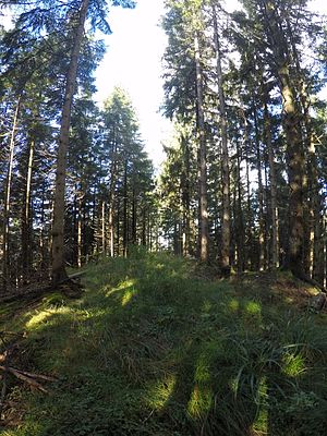
Cat head
| Cat head | ||
|---|---|---|
|
Summit area of the Katzenköpfl |
||
| height | 1132 m | |
| location | District of Miesbach , Bavaria , Germany | |
| Mountains | Mangfall Mountains | |
| Dominance | 0.1 km → nameless survey | |
| Notch height | 12 m | |
| Coordinates | 47 ° 44 '17 " N , 11 ° 59' 42" E | |
|
|
||
The Katzenköpfl ( 1132 m ) is a summit in the Wendelstein area , which belongs to the Mangfall Mountains in the Bavarian Prealps .
topography
The Katzenköpfl is a little pronounced forest elevation on the nameless ridge, which rises with the peaks Schwarzenberg , Sternplatte , Sterneck , Katzenköpfl, Rißkopf , Eibelkopf , Breitenstein and Schweinsberg west of the Jenbach valley . The easiest way to get to the Sterneck is via a forest road that runs just a few meters below the Katzenköpfl.

