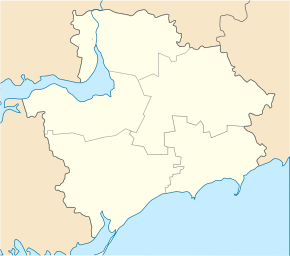
Tavrijske (Orichiw)
| Tavrijske | ||
| Таврійське | ||

|
|
|
| Basic data | ||
|---|---|---|
| Oblast : | Zaporizhia Oblast | |
| Rajon : | Orichiv Raion | |
| Height : | 41 m | |
| Area : | 13.205 km² | |
| Residents : | 3,456 (2004) | |
| Population density : | 262 inhabitants per km² | |
| Postcodes : | 70540 | |
| Area code : | +380 6141 | |
| Geographic location : | 47 ° 39 ' N , 35 ° 42' E | |
| KOATUU : | 2323981501 | |
| Administrative structure : | 2 villages | |
| Address: | вул. Радянська 13 70 540 с. Таврійське |
|
| Statistical information | ||
|
|
||
Tawrijske ( Ukrainian Таврійське ; Russian Таврическое Tawritscheskoje ) is a village in the north of the Ukrainian Oblast of Zaporizhia with about 3400 inhabitants (2004).
The village, founded in 1798, emerged from a farm founded in 1770 and was called Scherebez (Жеребець) until 1939 , then the name Kirowe (Ukrainian Кірове; Russian Кирово / Kirowo) until May 12, 2016 and since then the name it is today. The village has a train station on the Zaporizhia - Polohy railway line .
Tawrijske is on the right bank of the 146 km long Kinska opposite the village of Jurkivka ( Юрківка ) and on the territorial road T-08-03 . The village is the administrative center of a district council in the center of Orichiv Raion and is located about 50 km southeast of the center of Zaporizhia Oblast and 14 km northwest of Orichiv Raion center . The village Lyubymowka ( Любимовка ⊙ ) with about 120 inhabitants also belongs to the district council .
Individual evidence
- ^ Website of the village on the Verkhovna Rada website , accessed on June 16, 2015
- ↑ Верховна Рада України; Постанова від 12.05.2016 № 1353-VIII Про перейменування деяких населених пунктів

