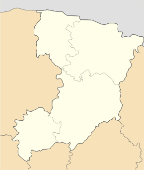
Klessiw (village)
| Klessiw | ||
| Клесів | ||

|
|
|
| Basic data | ||
|---|---|---|
| Oblast : | Rivne Oblast | |
| Rajon : | Sarny district | |
| Height : | 157 m | |
| Area : | 1.884 km² | |
| Residents : | 1,492 (2001) | |
| Population density : | 792 inhabitants per km² | |
| Postcodes : | 34550 | |
| Area code : | +380 3652 | |
| Geographic location : | 51 ° 20 ' N , 26 ° 56' E | |
| KOATUU : | 5625455401 | |
| Administrative structure : | 1 village | |
| Address: | вул. Леніна 10 34550 смт. Клесів |
|
| Statistical information | ||
|
|
||
Klessiw ( Ukrainian Клесів ; Russian Клесов Klessow , Polish Klesów ) is a village in the north of the Ukrainian Rivne Oblast with about 1500 inhabitants (2001).
The village, founded in 1880, is located 27 km east of the Sarny district center and about 110 km northeast of the Oblast capital Rivne .
On September 7, 2015, the village became part of the newly established settlement community Klesiv (Клесівська селищна громада / Klessiwska selyschtschna hromada ), by then the village belonged to the settlement council community Klesiv.
The town in the north-east of Sarny Rajon was affected by the Chernobyl nuclear disaster and is now in the expanded Chernobyl exclusion zone, which is still radioactively contaminated .
Rovno amber has been mined near the village since the end of the 19th century .
Individual evidence
- ↑ page of the village on the website of the Verkhovna Rada ; accessed on May 28, 2017
- ↑ Відповідно до Закону України "Про добровільне об'єднання територіальних громад" у Рівненській області у Сарненському районі Клесівська селищна рада та Карасинська , Карпилівська сільські ради рішеннями від 07 вересня 2015
- ^ Radiological status of the areas with radioactive contamination
- ↑ African Invertebrates - A Comparative Analysis of the Baltic and Rovno Amber Arthropod Faunas: representative samples on journals.co.za (English)

