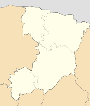
Sarny
| Sarny | ||
| Сарни | ||

|
|
|
| Basic data | ||
|---|---|---|
| Oblast : | Rivne Oblast | |
| Rajon : | Sarny district | |
| Height : | no information | |
| Area : | 43.15 km² | |
| Residents : | 28,257 (2004) | |
| Population density : | 655 inhabitants per km² | |
| Postcodes : | 34507 | |
| Area code : | +380 3655 | |
| Geographic location : | 51 ° 20 ' N , 26 ° 36' E | |
| KOATUU : | 5625410100 | |
| Administrative structure : | 1 city | |
| Mayor : | Leontiy Nikolajchuk | |
| Address: | вул. Широка 31 34500 м. Сарни |
|
| Statistical information | ||
|
|
||
Sarny (Ukrainian Сарни ; Russian Сарны ) is a Ukrainian city with a little over 28,000 inhabitants. Sarny is situated on the river Slutsch , in the Oblast Rivne on the highway M07 / E373 north of the district capital of Rivne . The next larger cities are Rivne, Beresne and Kostopil .
Sarny is an important railway junction, where the Rivne – Luninez and Kovel – Kiev lines meet .
history
Today's place was created during the construction of the railways in western Russia, the station settlement was officially founded in 1885, a village of the same name had been on the banks of the Slutsch since 1648 and had been in the Volhynia governorate as part of the Russian Empire since 1795 . After the end of the First World War, the place became part of the Second Polish Republic (until 1930 Polesian Voivodeship , then Volhynia Voivodeship , Powiat Sarny, Gmina Sarny). During this time, Poland built the Sarny Fortified Area around Sarny as a defense against the Soviet Union. After the outbreak of World War II, the area was occupied by the Soviet Union and, from 1941, by Germany . In 1945 it finally became part of the Soviet Union and was incorporated into the Ukrainian SSR . The place has had city status since 1939, and in 1991 the city became part of the newly formed Ukraine.
Museums
Web links
- Sarny . In: Filip Sulimierski, Władysław Walewski (eds.): Słownik geograficzny Królestwa Polskiego i innych krajów słowiańskich . tape 10 : Rukszenice – Sochaczew . Walewskiego, Warsaw 1889, p. 325 (Polish, edu.pl ).


