Kwassyliw
| Kwassyliw | ||
| Квасилів | ||

|
|
|
| Basic data | ||
|---|---|---|
| Oblast : | Rivne Oblast | |
| Rajon : | Rivne district | |
| Height : | no information | |
| Area : | 4.46 km² | |
| Residents : | 8,117 (2011) | |
| Population density : | 1,820 inhabitants per km² | |
| Postcodes : | 35350 | |
| Area code : | +380 362 | |
| Geographic location : | 50 ° 33 ' N , 26 ° 16' E | |
| KOATUU : | 5624655300 | |
| Administrative structure : | 1 urban-type settlement | |
| Mayor : | Dmytro Kret | |
| Address: | вул. Б. Хмельницького 2 35350 смт. Квасилів |
|
| Statistical information | ||
|
|
||
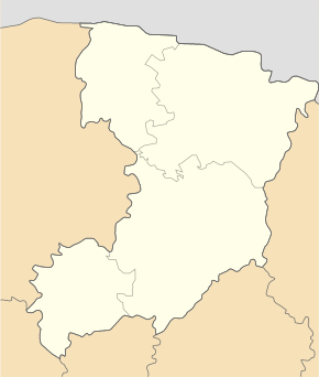
Kwassyliw (Ukrainian Квасилів ; Russian Квасилов / Kwassilow , Polish Kwasiłów , Czech Kvasilov ) is an urban-type settlement in the western Ukrainian Rivne Oblast with about 8,000 inhabitants. It is located on the Ustya River , about 6 kilometers south of the Rajons and at the same time Oblast capital Rivne .
history
The place was mentioned in writing for the first time in 1445 and was part of the aristocratic republic of Poland-Lithuania in the Volyn Voivodeship until 1795 . Then it came to the newly founded Volhynia Governorate as part of the Russian Empire . After the end of the First World War the place became part of the Second Polish Republic ( Voivodeship Volhynia , Powiat Równe, Gmina Równe), after the outbreak of the Second World War the area was occupied by the Soviet Union and from 1941 by Germany , in 1945 it finally came to Soviet Union and was incorporated into the Ukrainian SSR . Since the independence of Ukraine in 1991, Kvassyliv has been part of the same. Since 1978 the place has had the status of an urban-type settlement.
The place was a center of the Volhynientschechen in today's Ukraine until 1945 .
Web links
- Kwasiłów . In: Filip Sulimierski, Władysław Walewski (eds.): Słownik geograficzny Królestwa Polskiego i innych krajów słowiańskich . tape 15 , part 2: Januszpol – Wola Justowska . Walewskiego, Warsaw 1902, p. 206 (Polish, edu.pl ).

