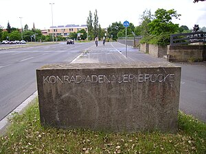
Konrad Adenauer Bridge (Nuremberg)
Coordinates: 49 ° 27 '3 " N , 11 ° 5' 50" E
| Konrad Adenauer Bridge | ||
|---|---|---|
| Convicted | Road traffic (Wöhrder valley crossing) | |
| Subjugated | Pegnitz | |
| place | Nuremberg | |
| location | ||
|
|
||
The Adenauerbrücke is a bridge structure in Nuremberg . It is the southern continuation of the Wöhrder valley crossing to Dürrenhofstrasse and has been named Adenauerbrücke since 1967 in honor of the first Federal Chancellor (1949–1963) Konrad Adenauer (1876–1967).
The Wöhrd valley crossing represents the old road connection between the suburb of Wöhrd and the Siechkobel and the settlement of St. Peter developing around it , originally as an extension of the Wassertorstraße crossing the Pegnitzarm near Wöhrd and the south of the Wöhrder Wiese . After repairing the war damage, it was returned to traffic in 1955. Due to the plans that already existed at the time, the Wöhrder valley crossing was redesigned from 1961 as part of the flood regulation of the Pegnitz and received its present form with the realization of the Wöhrder lake from 1968. Today, Wöhrder Talübergang is the area where the valley is crossed between Kressengartenstrasse and Bartholomäusstrasse .
swell
- City Archives Nuremberg, StadtAN C 36 / I; F 2.
- Nuremberg City Archives, City Lexicon

