Kora Kang
| Kora Kang | ||
|---|---|---|
| height | 6601 m | |
| location |
North Sikkim ( India ), Tibet ( PR China ) |
|
| Mountains | Chorten Nyima Group ( Himalayas ) | |
| Dominance | 10.71 km → Chorten Nyima | |
| Notch height | 801 m ↓ Chorten Nyima La ( 5800 m ) | |
| Coordinates | 27 ° 57 '58 " N , 88 ° 17' 10" E | |
|
|
||
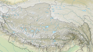
The Kora Kang is a peak in the Himalayas on the border between Sikkim in India and Tibet in China .
The Kora Kang has a height of 6601 m . It is located in the eastern main Himalayan ridge in the northwest of Sikkim on the border with Tibet. On its east and west flanks, glaciers flow in a northerly direction and both end in a glacier edge lake . These lie in the catchment area of the Yairu Zangbo , a left tributary of the Bum Chu (upper reaches of the Arun ). Chorten Nyima ( 6,927 m ), the highest mountain in the Chorten-Nyima group, rises 10.71 km to the west-southwest .
In Himalayan Index No ascents of Kora Kang are documented.
