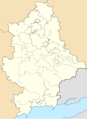
Krasna Poljana (Welyka Nowosilka)
| Krasna Polyana | ||
| Красна Поляна | ||

|
|
|
| Basic data | ||
|---|---|---|
| Oblast : | Donetsk Oblast | |
| Rajon : | Velyka Novosilka district | |
| Height : | 138 m | |
| Area : | Information is missing | |
| Residents : | 4,606 (2001) | |
| Postcodes : | 85571 | |
| Area code : | +380 6243 | |
| Geographic location : | 47 ° 34 ' N , 37 ° 4' E | |
| KOATUU : | 1421283001 | |
| Administrative structure : | 1 village | |
| Address: | вул. Леніна 60 85571 с. Красна Поляна |
|
| Website : | City council website | |
| Statistical information | ||
|
|
||
Krasna Poljana ( Ukrainian Красна Поляна ; Russian Красная Поляна Krasnaja Poljana ) is a village in the western part of the Ukrainian Donetsk Oblast with about 4600 inhabitants (2001).
geography
Krasna Poljana forms its own district council in the southeast of the Velyka Novosilka district on the bank of the Mokri Jaly (Ukrainian Мокрі Яли ), a 147-kilometer tributary of the Vovscha . The village lies on the territorial road T-05-18 about 90 km southwest of the Oblastzentrum Donetsk and 40 km south-east of Rajonzentrum velyka novosilka .
The village was founded in 1787 by settlers from the Crimea . Between 1925 and 1939 the village was in the Luxemburg-German Nationalrajon . The village was called Nowa Karakuba ( Нова Каракуба ) until the Second World War . North of today's town center was the German colony Elisabethdorf (also Blumental ), which was founded in 1825 by settlers from Baden, Hessen-Darmstadt and Alsace.
Individual evidence
- ^ The village's website on the Verkhovna Rada website , accessed on June 6, 2015
- ^ Local history of Krasna Poljana in the history of the cities and villages of the Ukrainian SSR ; accessed on November 12, 2017 (Ukrainian)
- ^ The colonies near Mariupol on the Sea of Azov

