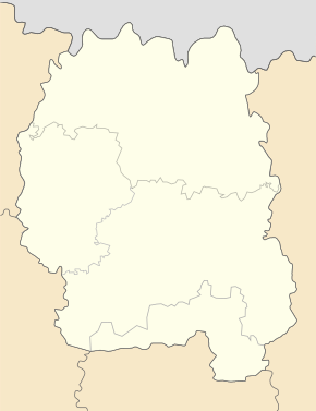
Krasnobirka
| Krasnobirka | ||
| Краснобірка | ||

|
|
|
| Basic data | ||
|---|---|---|
| Oblast : | Zhytomyr Oblast | |
| Rajon : | Radomyshl district | |
| Height : | 169 m | |
| Area : | 2.181 km² | |
| Residents : | 972 (2004) | |
| Population density : | 446 inhabitants per km² | |
| Postcodes : | 12235 | |
| Area code : | +380 4132 | |
| Geographic location : | 50 ° 35 ' N , 29 ° 17' E | |
| KOATUU : | 1825085001 | |
| Administrative structure : | 2 villages | |
| Address: | вул. В. Чорновола 5 12 235 с. Краснобірка |
|
| Statistical information | ||
|
|
||
Krasnobirka ( Ukrainian Краснобірка ; Russian Красноборка Krasnoborka ) is a village in the east of the Ukrainian Oblast Zhytomyr with about 970 inhabitants (2004).
Krasnobirka is the administrative center of the same name, 22.56 km² District Municipality in Rajon Radomishl , nor to the village Krasnosilka ( Красносілка ⊙ part) with about 40 inhabitants.
The village is located on the T-06-08 territorial road about 80 km northeast of the Zhytomyr Oblast center and 14 km north of the Radomyshl Rajon center .
Individual evidence
- ↑ Village on the official website of the Verkhovna Rada, accessed on August 10, 2015 ( page no longer available , search in web archives ) Info: The link was automatically marked as defective. Please check the link according to the instructions and then remove this notice.

