Krenitsyn
| Krenitsyn | ||
|---|---|---|
|
Krenitsyn volcanic island in Lake Kolzewoje |
||
| height | 1325 m | |
| location | Sakhalin Oblast , Russia | |
| Mountains | Onekotan Island , Kuril Islands | |
| Coordinates | 49 ° 21 '9 " N , 154 ° 42' 25" E | |
|
|
||
| Type | Stratovolcano | |
| Last eruption | 1952 | |
| particularities | 7.5 km wide caldera | |
|
The island of Onekotan, the Nemo in the north (above) and the Tao Rusyr caldera with the Krenitsyn in the south. |
||
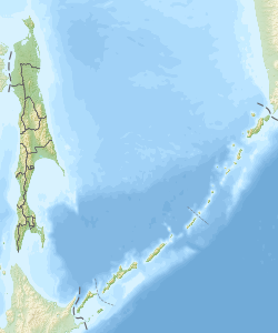
Krenitsyn ( Russian Креницын ; Japanese 黒 石山 , Kuroishiyama ) refers to a small volcanic island in the Kolzewoje Lake , a crater lake in the Tao Rusyr caldera on the Russian island of Onekotan , which is one of the Pacific Kurils .
The almost circular island with a diameter of about three kilometers is located in the southwest of Onekotan, almost in the middle of the 40 square kilometer crater lake. Krenitsyn consists only of a volcano of the same name, 1325 meters high , which last erupted in 1952.
The island is uninhabited.
The volcano is named after the Russian explorer Pyotr Kuzmich Krenitsyn (1728–1770).
Web links
- Tao-Rusyr Caldera in the Global Volcanism Program of the Smithsonian Institution (English)


