Kuckelberg
|
Kuckelberg
City of Bergisch Gladbach
Coordinates: 51 ° 0 ′ 33 ″ N , 7 ° 9 ′ 19 ″ E
|
||
|---|---|---|
|
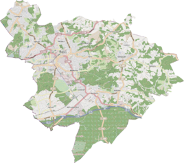
Location of Kuckelberg in Bergisch Gladbach |
||
|
Old half-timbered house in Kuckelberg 2015
|
||
Kuckelberg is a district in the Romaney district of Bergisch Gladbach .
history
The medieval settlement of Kuckelberg , which split up into Ober- and Unterkuckelberg, is documented for the year 1400. As early as 1351, a farm was mentioned under the name Kuchgelenberg , which probably means the Kuckelberg settlement . The original settlement developed into a small hamlet in the early modern period . In 1905 he counted seven farms with 27 residents. The defining word kuckel is probably derived from the Middle High German kukuk and is a dialectic form for the bird cuckoo .
Mining
Mining took place in the Kuckelberg area over two thousand years ago. To the west of Kuckelberg you can still see pings that represent the near-surface mining for iron . With the start of the coal and steel industry , the Prince Wilhelm mine was awarded there.
Individual evidence
- ^ Andree Schulte, Bergisch Gladbach, city history in street names , published by the Bergisch Gladbach city archive, volume 3, and by the Bergisches Geschichtsverein department Rhein-Berg e. V., Volume 11, Bergisch Gladbach 1995, p. 104, ISBN 3-9804448-0-5
literature
- Anton Jux: The Bergisch Botenamt, the history of Bergisch Gladbach up to the Prussian era , published by the Culture Office of the City of Bergisch Gladbach, Bergisch Gladbach 1964

