Cow-e Bandaka
| Cow-e Bandaka | ||
|---|---|---|
| height | 6843 m (or 6812 m ) | |
| location | Kuran va Munjan in Badachschan ( Afghanistan ) | |
| Mountains | Hindu Kush | |
| Dominance | 75.36 km → Tirich Mir | |
| Notch height | 2834 m ↓ ( 4009 m ) | |
| Coordinates | 36 ° 10 ′ 45 ″ N , 70 ° 59 ′ 0 ″ E | |
|
|
||
| First ascent | September 22nd, 1960 by Wolfgang von Hansemann, Dietrich Hasse, Siegbert Heine and Johannes Winkler | |
|
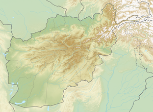
Location of the Kuh-e Bandaka (high point 6843) in the Kuran va Munjan district |
||
The Kuh-e Bandaka is a 6843 m (according to other sources 6812 m ) high mountain in the province of Badachschan in northeastern Afghanistan .
location
The Kuh-e Bandaka is one of the highest mountains in the Hindu Kush in northeastern Afghanistan. It is the highest mountain that lies entirely within Afghanistan.
Ascent history
Its first ascent was achieved on September 22, 1960 by Wolfgang von Hansemann, Dietrich Hasse, Siegbert Heine and Johannes Winkler.
Web links
- Kuh-e Bandaka on Peakbagger.com (English)
Individual evidence
- ^ Afghanistan ultra-prominent peaks on peaklist.org
- ^ Siegbert Heine, "Berlin Hindu Kush Expedition", American Alpine Journal , 1961, p. 418.

