Kuh-e Karkas
| Kuh-e Karkas | ||
|---|---|---|
| height | 3896 m | |
| location | Iran | |
| Mountains | Kuhrud | |
| Coordinates | 33 ° 27 ′ 21 ″ N , 51 ° 48 ′ 0 ″ E | |
|
|
||
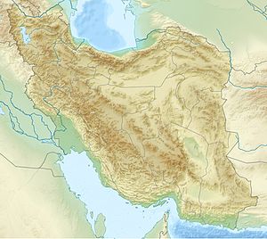
The Kuh-e Karkas ( Persian كوه كركس) is at 3,896 meters one of the highest peaks in the Kuhrud Mountains in the central highlands of Iran . It is located in the northern half of the 1000 km long mountain range, where it tapers into a narrow, steep double chain north of the city of Esfahan .
The meaning of the name is disputed, Mountain of the Vultures or Mountain of the Kassites .
In the further course of the mountains to the southeast, only a few peaks reach the 3,000 m mark before it rises again to 4,300 m 300–500 km further at Yazd and Kerman .
On the eastern mountain flank of the Kuh-e Karkas are the tourist attractions of the red village Abyaneh and the district town of Natanz , which is known for its controversial uranium enrichment facility of the Iranian nuclear program ( 33 ° 43 ′ 29 ″ N , 51 ° 43 ′ 29 ″ E ).
The mining of Komshecheh ( 33 ° 14 ′ 0 ″ N , 52 ° 3 ′ 0 ″ E ), which is an important deposit for the minerals fluorite , is located in a limestone and dolomite saddle in an eastern foothill of the mountain region, about 30 km away and barite (fluoro or barite) represents.
See also
Individual evidence

