Lac Parent
| Lac Parent | ||
|---|---|---|
| Geographical location | Abitibi-Témiscamingue in Québec (Canada) | |
| Tributaries | Rivière Bell , Rivière Mégiscane , Rivière Delestres | |
| Drain | Rivière Bell | |
| Location close to the shore | Senneterre , Val-d'Or | |
| Data | ||
| Coordinates | 48 ° 39 ′ N , 77 ° 4 ′ W | |
|
|
||
| Altitude above sea level | 300 m | |
| surface | 122 km² | |
| length | 53 km | |
| width | 6 km | |

|
||
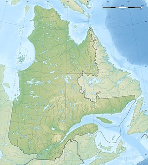
| Map of the Lac Parent | ||
Lac Parent is a lake in the Abitibi-Témiscamingue administrative region of the Canadian province of Québec .
The lake is located 65 km northeast of the city of Val-d'Or . Senneterre is about 5 km from the southern end of the lake . The Route 113 runs along the western shore of the lake.
The Lac Parent forms a widening of the Rivière Bell , which flows through it from south to north. The Rivière Mégiscane flows into the lake from the southeast . The lake is 53 km long, up to 6 km wide and covers an area of 122 km².
The lake offers various recreational opportunities: camping, fishing, boating. The following fish can be caught in the lake: pike and eyeglasses .
The lake has had its current name since 1921. The lake was named in honor of Simon-Napoléon Parent (1855–1920), Prime Minister of Québec.
There are a number of other lakes with the same name in the province of Québec.
Individual evidence
- ↑ a b c d e f Commission de toponymie du Québec - Lac Parent
- ↑ pourvoirielacparent.com ( Memento of the original dated November 9, 2014 in the Internet Archive ) Info: The archive link was inserted automatically and has not yet been checked. Please check the original and archive link according to the instructions and then remove this notice.
