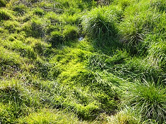
Monk source
|
Mönchsquelle Mönchsbrunnen |
||
|
The heavily silted monk's source during major changes |
||
| Data | ||
| location | Werther municipality (district Großwechselungen ), Nordhausen district , Thuringia , Germany | |
| River system | Elbe | |
| Drain over | Röstegraben → Helme → Unstrut → Saale → Elbe → North Sea | |
| Meadow spring | Monk's spring; southeast of major changes 51 ° 28 ′ 50 ″ N , 10 ° 42 ′ 20 ″ E |
|
| muzzle | south-east of major changes in the Röstegraben Coordinates: 51 ° 28 ′ 52 " N , 10 ° 42 ′ 19" E 51 ° 28 ′ 52 " N , 10 ° 42 ′ 19" E
|
|
| length | (Discharge to the Röstegraben) about 37 m | |
| Communities | Werther | |
| Residents in the catchment area | 860 | |
The Mönchsquelle , sometimes also Mönchsbrunnen , is a small meadow spring during major changes in the municipality of Werther in the Nordhausen district ( Thuringia ).
location
The Mönchsquelle, the strongest spring in the Röstegraben , is about 1.6 km as the crow flies south-east of Großwechselungen in a rural region of the northern Thuringian hill country .
Picture gallery
Web links
Commons : Mönchsquelle - collection of images, videos and audio files
Individual evidence
- ↑ Map from Google Earth


