Maienberg (pass)
| Maienberg (pass) | |||
|---|---|---|---|
| Compass direction | west | east | |
| Pass height | 491 m above sea level NHN | ||
| state | Baden-Württemberg | ||
| Valley locations | Enkenstein | Hausen in Wiesental | |
| expansion | K 6348 | ||
| Mountains | Black Forest | ||
| profile | |||
| Max. Incline | 9% | 12% | |
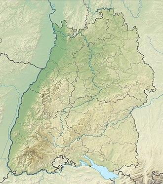
| Map (Baden-Württemberg) | |||
|
|
|||
| Coordinates | 47 ° 40 ′ 53 " N , 7 ° 49 ′ 37" E | ||
The Maienberg , also Maiberg , is a pass crossing from Enkenstein to Hausen im Wiesental . In addition to the Hau (Neuenweg) and the transition through Gresgen , the Maienberg is the third transition from the Wiesental to the Kleine Wiesental. The pass runs through the FFH area Röttler Wald .
profile
In the west approach, the Enkenstein pass leads 1.6 kilometers and overcomes a difference in altitude of 109 meters, which corresponds to an average gradient of 6.8%. The maximum is 9%. At the top of the pass there is a forest parking lot and a barbecue area on the south side of the road. The east ramp from Hausen in Wiesental overcomes an altitude of 1.2 kilometers and an average gradient of 7%. The maximum gradient in the middle of the route is 12%. The pass road has the rank of a district road (K 6348) and bears the name Maibergstraße. Both the top of the pass and the upper third of the western ramp belong to the municipal area of Hausen.
Web links
- Maienberg (491 m) - pass description
