
Makranka
|
Макранка Макранка |
||
|
|
||
| Data | ||
| location | Mahiljouskaja Woblasz ( Belarus ) | |
| River system | Dnepr | |
| Drain over | Dnepr → Black Sea | |
| source | near Kljatnoje 53 ° 29 '29 " N , 30 ° 6' 7" O |
|
| Source height | approx. 160 m | |
| muzzle | At Bychau coordinates: 53 ° 31 '38 " N , 30 ° 15' 38" E 53 ° 31 '38 " N , 30 ° 15' 38" E |
|
| Mouth height | approx. 142 m | |
| Height difference | approx. 18 m | |
| Bottom slope | approx. 0.86 ‰ | |
| length | 21 km | |
| Catchment area | 161 km² | |
| Left tributaries | Sabawa | |
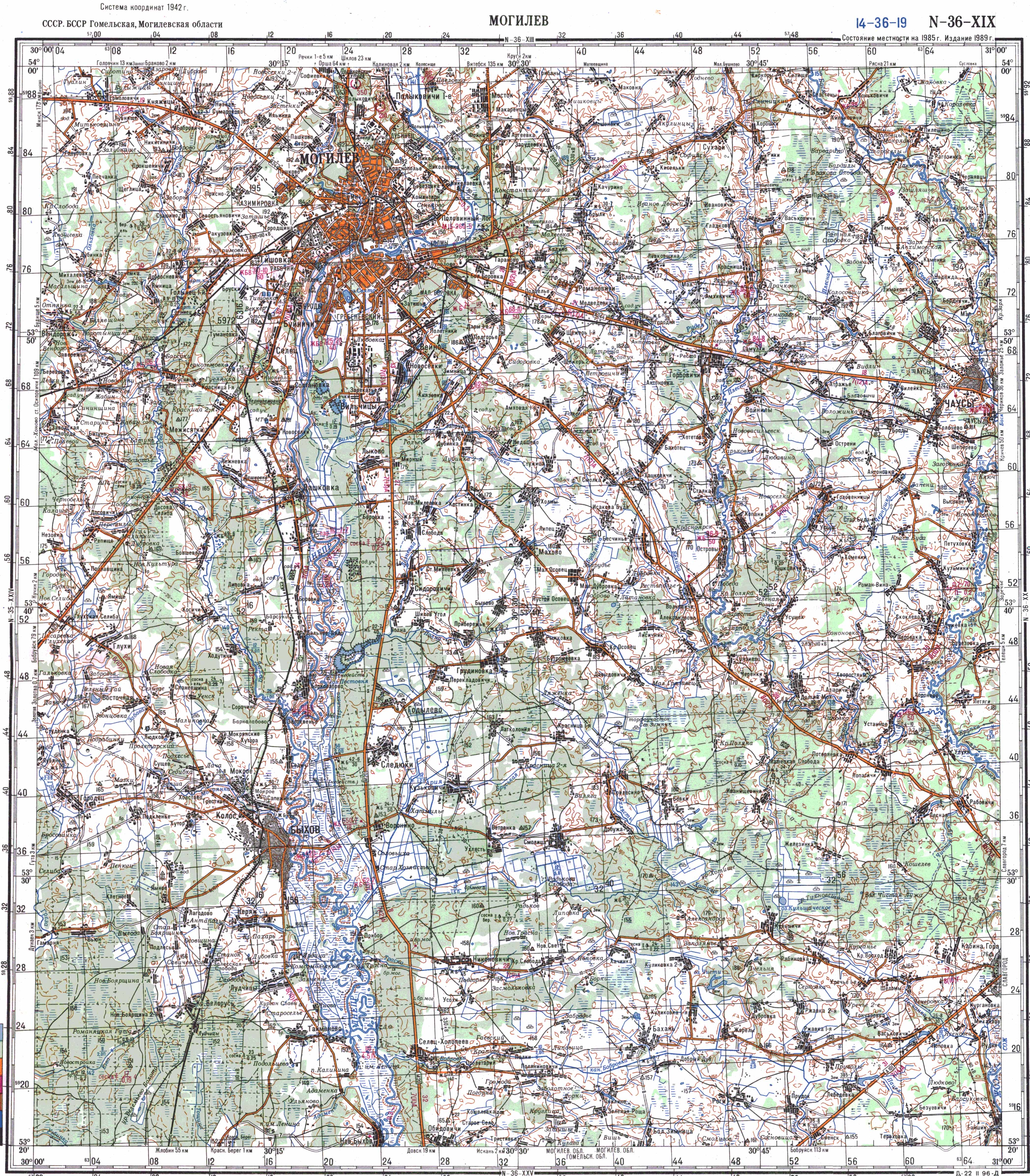
The Makranka ( Byelorussian Макранка ) is a small river in the Bychau district in the Mahiljouskaya Woblasz in Belarus . The length of the river is 21 kilometers.
The river rises 1.5 km northeast of the village Klyatnoye in a swampy forest and flows in an arc around the northeastern town of Bychau , where it finally flows into the Dnieper as a right tributary . The average gradient of the Makranka is 0.7%. The river has been straightened in the lower reaches. The largest tributary is the Sabawa (left).
Web links
- TK sheet N-36-19 (МОГИЛЕВ)
- The Makranka River (Belarusian)