Mala Tokmachka
| Mala Tokmachka | ||
| Мала Токмачка | ||

|
|
|
| Basic data | ||
|---|---|---|
| Oblast : | Zaporizhia Oblast | |
| Rajon : | Orichiv Raion | |
| Height : | 68 m | |
| Area : | 8.043 km² | |
| Residents : | 3,037 (2004) | |
| Population density : | 378 inhabitants per km² | |
| Postcodes : | 70550 | |
| Area code : | +380 6141 | |
| Geographic location : | 47 ° 32 ' N , 35 ° 54' E | |
| KOATUU : | 2323982501 | |
| Administrative structure : | 4 villages | |
| Address: | вул. Миру 297 70 550 с. Мала Токмачка |
|
| Statistical information | ||
|
|
||
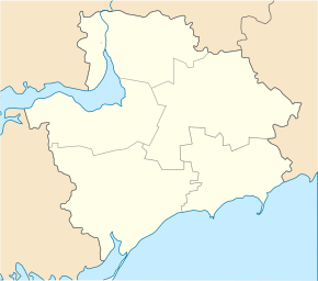
Mala Tokmachka ( Ukrainian Мала Токмачка ; Russian Малая Токмачка Malaja Tokmachka ) is a village in the north of the Ukrainian Oblast of Zaporizhia with about 3000 inhabitants (2004).
The village, founded in 1783, is located 10 km southeast of Orichiv Rajon center on the left bank of the 146 km long Kinska and on the T-08-15 territorial road . The village has a train station on the Zaporizhia - Polohy railway line .
Mala Tokmachka is the administrative center of a 172 km² rural community in the southeast of Orichiw Rajon with about 3200 inhabitants and is located about 70 km southeast of the center of Zaporizhia Oblast. The rural community also includes the villages Bilohirja ( Білогір'я ⊙ ) with about 310 inhabitants, Luhiwske ( Лугівське ⊙ ) with about 170 inhabitants and Novopokrovka ( Новопокровка ⊙ ) with about 310 inhabitants.
Individual evidence
- ^ Website of the village on the Verkhovna Rada website , accessed on September 7, 2017 (Ukrainian)

