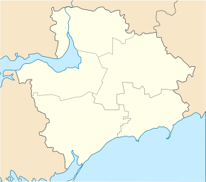
Preobraschenka (Orichiw)
| Preobraschenka | ||
| Преображенка | ||

|
|
|
| Basic data | ||
|---|---|---|
| Oblast : | Zaporizhia Oblast | |
| Rajon : | Orichiv Raion | |
| Height : | 63 m | |
| Area : | 6.292 km² | |
| Residents : | 3,710 (2004) | |
| Population density : | 590 inhabitants per km² | |
| Postcodes : | 70545 | |
| Area code : | +380 6141 | |
| Geographic location : | 47 ° 35 ' N , 35 ° 48' E | |
| KOATUU : | 2323987801 | |
| Administrative structure : | 3 villages | |
| Address: | вул. Преображенська 3 70545 с. Преображенка |
|
| Statistical information | ||
|
|
||
Preobrashenka ( Ukrainian Преображенка ; Russian Preobrashenka Преображенка ) is a village in the north of the Ukrainian Oblast of Zaporizhia with about 3700 inhabitants (2004).
The village, founded in 1772, is located on the right bank of the 146 km long Kinska opposite the Orichiw district center and on the territorial roads T – 04–08 and T – 08–03 .
The village is the administrative center of a 106.634 km² district council in Orichiw Raion with about 4,000 inhabitants and is located about 60 km southeast of the center of Zaporizhia Oblast . The district council also includes the village Tscherwona Krynyzja ( Червона Криниця ⊙ ) with about 120 inhabitants and Wassyniwka ( Васинівка ⊙ ) with about 160 inhabitants.
Individual evidence
- ^ Website of the village on the Verkhovna Rada website , accessed on September 7, 2017 (Ukrainian)


