Malanda
| Malanda | |||||||||
|---|---|---|---|---|---|---|---|---|---|
|
|||||||||
|
|||||||||
|
|||||||||
|
|||||||||
|
|
|||||||||
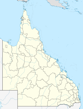
Malanda is a town of 1,672 people in the Atherton Tablelands , in northern Queensland , Australia . It is 25 km southeast of Atherton and thus in one of the wettest parts of the Atherton Tablelands. About 10 km to the north is the area of the Crater Lakes National Park with Lake Eacham and Lake Barrine , and there is also the Lake Tinaroo reservoir .
To Malanda there are various places (eg. As the Winfield Park) where you get lucky the elusive platypus may encounter.
Web links
- Website Malanda (English)
Individual evidence
- ↑ a b Australian Bureau of Statistics : Malanda ( English ) In: 2016 Census QuickStats . June 27, 2017. Retrieved April 17, 2009.
