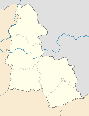
Manuchiwka
| Manuchiwka | ||
| Манухівка | ||

|
|
|
| Basic data | ||
|---|---|---|
| Oblast : | Sumy Oblast | |
| Rajon : | Putywl district | |
| Height : | 136 m | |
| Area : | Information is missing | |
| Residents : | 420 (2001) | |
| Postcodes : | 41553 | |
| Area code : | +380 55442 | |
| Geographic location : | 51 ° 15 ' N , 34 ° 10' E | |
| KOATUU : | 5923885001 | |
| Administrative structure : | 2 villages | |
| Address: | 41553 с. Манухівка | |
| Website : | City council website | |
| Statistical information | ||
|
|
||
Manuchiwka ( Ukrainian Манухівка ; Russian Мануховка Manuchowka ) is a village in the Ukrainian Sumy Oblast with about 400 inhabitants (2001).
The first time in 1718 in writing mentioned village is the administrative center of the eponymous district municipality in the east of Rajon Putyvl nor the westernmost of Manuchiwka village to the Iwaniwka ( Іванівка , ⊙ ) is one of about 150 inhabitants.
The village is located at an altitude of 136 m on the right bank of the Seim , 25 km southeast of the Putywl district center and about 80 km northwest of the Sumy oblast center .
Individual evidence
- ↑ Local website on the official website of the Verkhovna Rada ; accessed on June 25, 2020 (Ukrainian)
- ↑ history Manuchiwka in the history of the towns and villages of the Ukrainian SSR ; accessed on June 25, 2020 (Ukrainian)
- ^ Website of the district council on the official website of the Verkhovna Rada; accessed on June 25, 2020 (Ukrainian)


