Matthews (Indiana)
| Matthews | ||
|---|---|---|
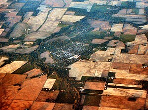
 Bird's eye view of Matthews |
||
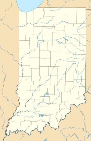
| Location in Indiana | ||
|
|
||
| Basic data | ||
| Foundation : | 1895 | |
| State : | United States | |
| State : | Indiana | |
| County : | Grant County | |
| Coordinates : | 40 ° 23 ′ N , 85 ° 30 ′ W | |
| Time zone : | Eastern ( UTC − 5 / −4 ) | |
| Residents : | 595 (status: 2000) | |
| Population density : | 661.1 inhabitants per km 2 | |
| Area : | 0.9 km 2 (approx. 0 mi 2 ) of which 0.9 km 2 (approx. 0 mi 2 ) is land |
|
| Height : | 268 m | |
| Postal code : | 46957 | |
| Area code : | +1 765 | |
| FIPS : | 18-47592 | |
| GNIS ID : | 0438731 | |
Matthews is a town in Jefferson Township of Grant County in the US state of Indiana . According to an estimate in 2000, it had a population of 595 in an area of 0.9 km². The population density is 661 per km².
history
The village was founded in 1895 and named after the politician Claude Matthews . The local founders hoped for an economically important future from a nearby gas field.
