Maya Mountains
| Maya Mountains | ||
|---|---|---|
|
Mountain Pine Ridge Forest Reserve in the Maya Mountains |
||
| Highest peak | Doyle's Delight ( 1124 m ) | |
| location | Belize , Guatemala | |
|
|
||
| Coordinates | 16 ° 40 ′ N , 88 ° 50 ′ W | |
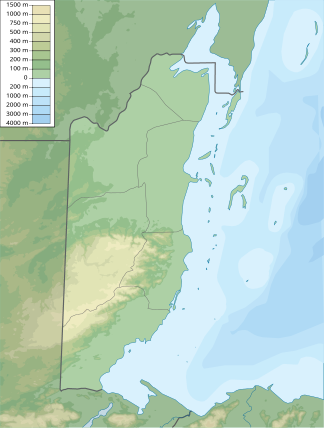
The Maya Mountains ( Spanish: Montes Maya ) are a mountain range in Belize that extends into eastern Guatemala .
The mountain range begins around 50 kilometers southwest of Belize City in the Cayo district . The highest point in the Maya Mountains is Doyle's Delight, 1124 meters high . There is frequent rainfall in the mountains, giving rise to a multitude of streams. These feed the Macal River and the Mopan River , which subsequently flow into the Belize River . The mountain range also forms the watershed between central and southern Belize.
The Maya Mountains and their foothills were already around 1200 BC. Colonized by the Maya in the 4th century BC and are home to archaeologically significant Maya ruins such as Caracol .
In the Maya Mountains there are several nature parks such as the Blue Hole National Park (not to be confused with the Great Blue Hole also in Belize), the Chiquibul National Park , the Cockscomb Wildlife Sanctuary and Jaguar Reserve , the Five Blues Lake National Park , the Mountain Pine Ridge Forest Reserve or the Colombia Forest Reserve .

