McMahon Glacier
| McMahon Glacier | ||
|---|---|---|
|
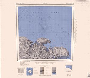
1968 Eastern Anare Mountains map , McMahon Glacier west of center of the map |
||
| location | Victoria Land , East Antarctica | |
| Mountains | Anare Mountains , Transantarctic Mountains | |
| length | 29 km | |
| Coordinates | 70 ° 45 ′ S , 165 ° 45 ′ E | |
|
|
||
| drainage | Nielsen Fjord , Somow Lake | |
The McMahon Glacier is a 29 km long glacier on the Pennell coast of the East Antarctic Victoria Land . It flows north in the Anare Mountains between the Buskirk Bluffs and the Gregory Bluffs to the Nielsen Fjord .
The Antarctic Names Committee of Australia (ANCA) called the original as Nielsen Glacier named Glacier to Francis Patrick McMahon, who as a logistics of the Australian Antarctic Division several expeditions to Macquarie initiated and deputy head for some expeditions to Antarctica was.
Web links
- McMahon Glacier in the Geographic Names Information System of the United States Geological Survey (English)
- McMahon Glacier on geographic.org (English)

