Monts Notre-Dame
| Monts Notre-Dame | ||
|---|---|---|
|
Pic Champlain in the Parc national du Bic |
||
| Highest peak | Mont Jacques-Cartier ( 1268 m ) | |
| location |
Québec , New Brunswick (Canada), Maine , New Hampshire , Vermont (USA) |
|
| part of | Appalachian Mountains | |
|
|
||
| Coordinates | 48 ° N , 68 ° W | |
| Age of the rock | 440 million years | |
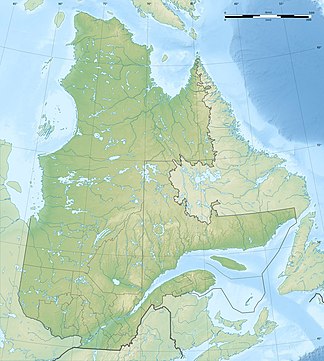
The Monts Notre-Dame form a mountain range south of the Saint Lawrence River . It extends from the eastern tip of the Gaspésie Peninsula to the Green Mountains in the US state of Vermont and forms a section of the Appalachian Mountains . The approximately 700 km long mountain range is mainly located in the Canadian province of Québec . The southern edge of the mountain range extends over the province of New Brunswick and the US states of Maine , New Hampshire and Vermont.
The average altitude is between 600 and 700 m. The highest mountains are in the Monts Chic-Chocs . You reach an altitude of 1268 m in Mont Jacques-Cartier .
Protected areas
In the far east of the Monts Notre-Dame lies the Forillon National Park . The following provincial parks are also located in the mountain range:
- Parc national du Bic
- Parc national de Frontenac
- Parc national du Lac-Témiscouata
- Parc national de la Gaspésie
Individual evidence
- ↑ a b Commission de toponymie du Québec - Monts Notre-Dame

