Moran, Wyoming
| Moran | ||
|---|---|---|
|
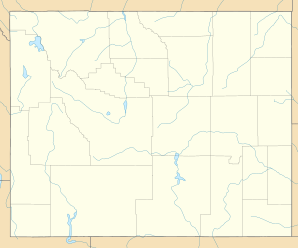
Location in Wyoming
|
||
| Basic data | ||
| State : | United States | |
| State : | Wyoming | |
| County : | Teton County | |
| Coordinates : | 43 ° 51 ′ N , 110 ° 30 ′ W | |
| Time zone : | Mountain ( UTC − 7 / −6 ) | |
| Height : | 2057 m | |
| Postal code : | 83013 | |
| Area code : | +1 307 | |
| GNIS ID : | 1604433 | |
Moran is an unincorporated place (unincorporated community) in Teton County in the US state of Wyoming .
location
Moran is located on the eastern edge of Grand Teton National Park near the Snake River about 50 kilometers north-northeast of County Seat Jackson at an altitude of 2057 meters.
At Moran, the US highways 26 and 287, which together crossed the continental divide about 15 kilometers further west at the Togwotee Pass at an altitude of 2944 m , meet the valley of the Snake River. The US Highway 287 leads from here to the north by the National Park Grand Teton and Yellowstone , located him at Moran one of the toll booths for the entrance to the Grand Teton National Park. The US Highway 26 leads south through Jackson to Alpine on the western border of Wyoming.
history
At the end of the 19th century, settlers in the area began feeding travelers to Yellowstone National Park or Idaho. Soon they built two hotels.
When the Jackson Lake Dam was built from 1910 to 1916, Moran's population temporarily increased significantly.
In the winter of 1933, Moran recorded the coldest temperature ever recorded in Wyoming at −52 ° C.
